The area in the City of Santa Ana between the Regional Transportation Center (SARTC) and Downtown includes a variety of land uses: transit oriented development, high density housing, schools, churches, recreational centers, parks, transportation center and commercial. The resulting transportation modes to service this area cover a broad spectrum including pedestrian, bicyclist, transit and motorist. Although the scale of Downtown and the SARTC are walkable and bikeable, the study area faces multiple challenges resulting from high vehicle speeds, wide streets, a lack of bicycle facilities, the presence of schools, uncontrolled pedestrian crossings, and unsafe access to transit and shopping.
To address these challenges, KTUA worked with the City to develop a Downtown Complete Streets Plan between Downtown and the Santa Ana Regional Transportation Center to improve access and mobility for all modes. The plan identified Complete Streets methods and designs to improve these modes within and around Downtown.
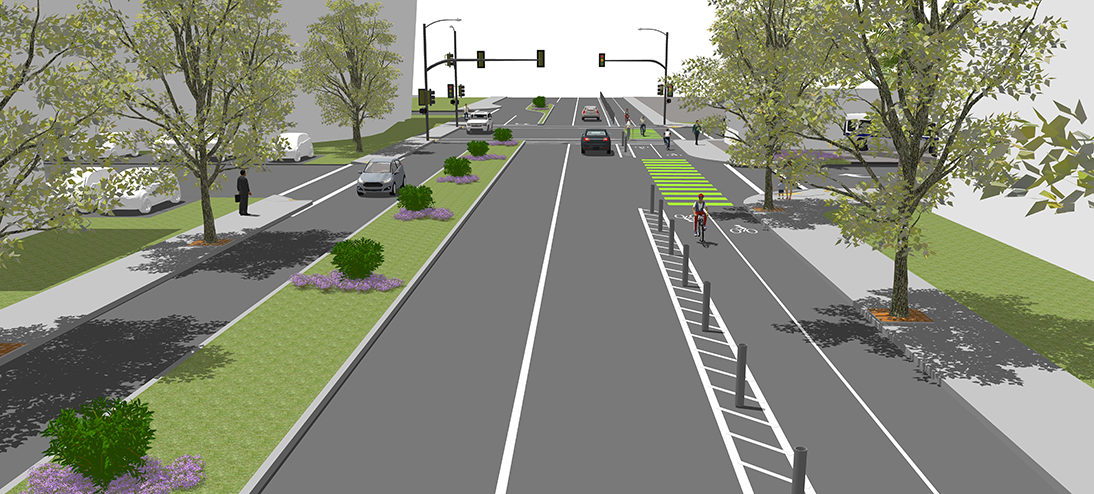
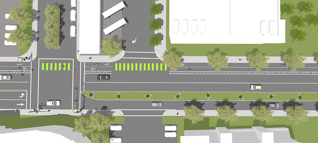
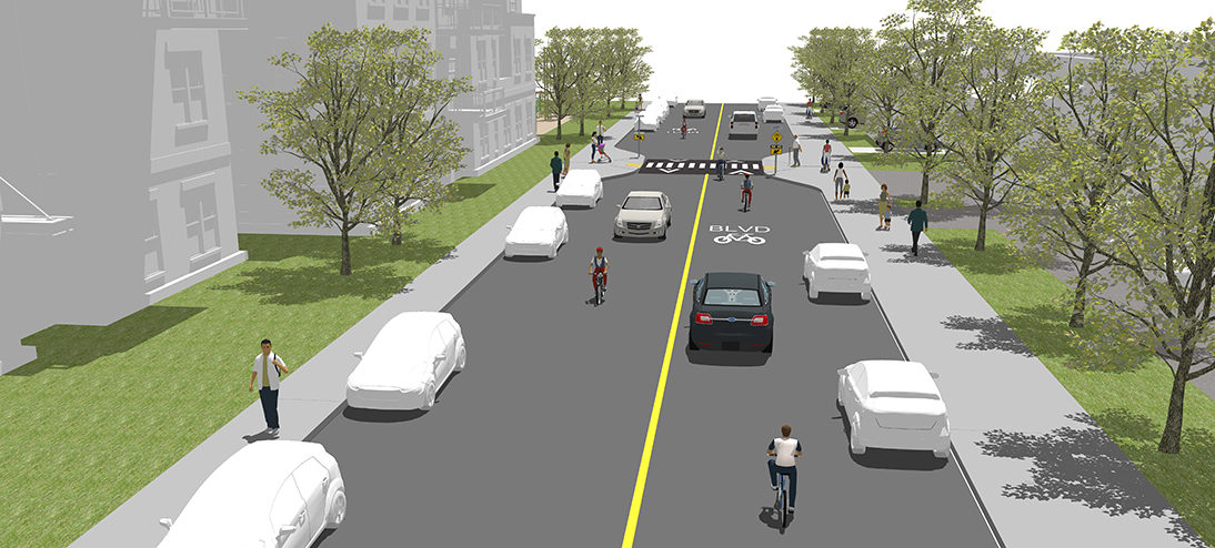
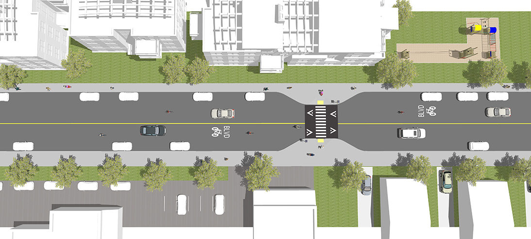
A large multi-lingual public outreach component included surveys, community advisory meetings, and a neighborhood workshop – a consecutive three-day workshop where walking and biking tours were conducted to gather input and intimately experience the Downtown area. The outcome is a plan with detailed recommendations for physical changes to streets, sidewalks and intersections that supports safe, active transportation along and across this study area. Through the public input process, stakeholder collaboration and primarily through the neighborhood workshop, five priority projects were identified and developed with preliminary designs. These concepts include planning level designs, 3D illustrations and costs estimates. The five projects were uniquely branded during the workshops with unique names such as Who’s on Third (Third Street), First on First (First Street), Cycle Track Square (Downtown to SARTC connection), Civic Duty (Civic Center Drive) and Ross is Boss (Ross Street).
These five projects serve as the basis for current and future grant funding applications to enable the City to prepare engineering and implementation plans.
One of the priority projects is Cycle Track Square, a combination of protected bike lanes and bicycle boulevards. In the more urbanized areas around the Civic Center and 5th Street, protected bike lanes were designed. As the street geometry changes and right-of-way narrows through the residential areas, the protected bike lanes switch to bicycle boulevards. Additionally, some right-of-way re-acquisition allows for the creation of parks adjacent to Garfield Elementary. This additional park space narrows small segments of Brown Street and Garfield Street to be more conducive to a bicycle boulevard. It also supports traffic calming measures, shortens street crossings for children and adds valuable park space to the neighborhood.
Back to topClient
SCAG City of Santa Ana
Completed
2015
Key Personnel
Services
Awards
2016 APA Orange County Transportation & Best Practices Awards, 2015 ULI Orange County Sustainability Award


 Mike Singleton (Retired)
 Joe Punsalan
 Jacob Leon