The Chino Bicycle and Pedestrian Master Plan is the City’s first active transportation plan and serves as a guide for the implementation of a network of quality bicycle and pedestrian facilities to improve mobility and connectivity, increase transportation options, improve public health and physical activity, enhance recreational opportunities, reduce environmental impacts of the transportation system, and enhance the overall quality of life for the Chino community.
The plan proposed improved and expanded pedestrian and bicycle facilities, with a focus on improved connectivity within the city. The plan ensures that pedestrian and bicycle networks provide direct connections between major activity centers, minimize conflicts with other modes of transportation and improve bicycle and pedestrian access and safety to schools and public transportation stops.
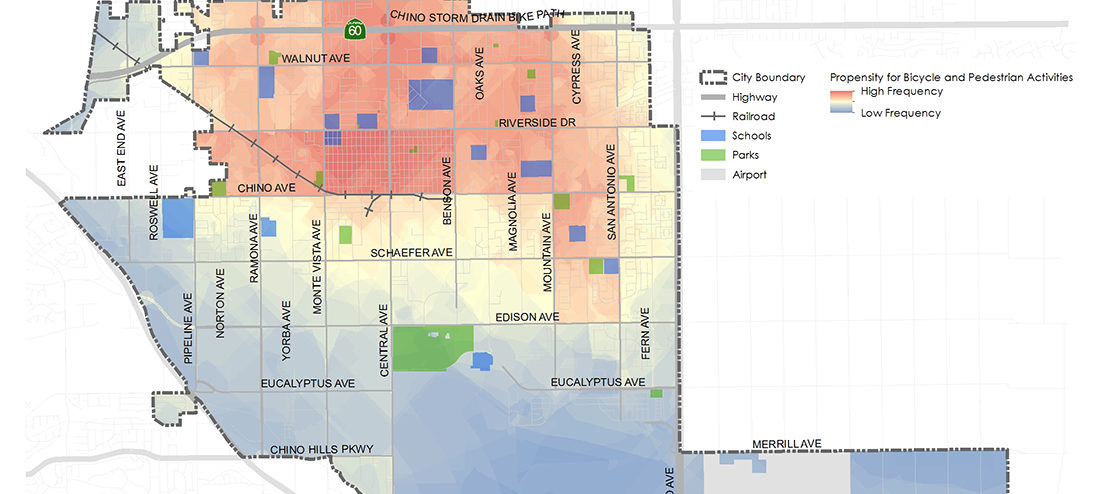
During this process, KTUA developed a GIS-based Neighborhood Greenway Tool that looked at factors such as street classification and speed to derive connections between activity centers such as schools and parks. Because of the City’s predominantly grid street network, the tool quickly identified streets that initially met the criteria for bicycle boulevards, or neighborhood greenways. Through this initial analysis, the city refined the network to streets that were already planned as shared streets or make multiple connections along the route. This provided a quick data driven approach to identifying streets that may have not surfaced through analysis or the public outreach process.
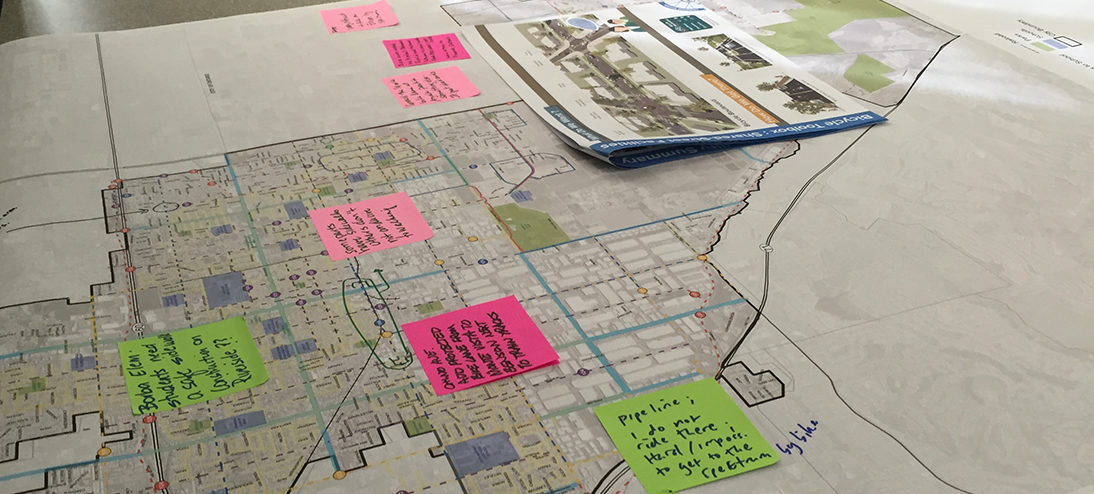
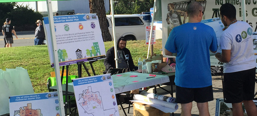
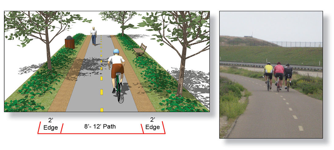
The final plan included a prioritized list of pedestrian and bicycle projects identified through the stakeholder and outreach process. The final plan also addressed the six “Es” of bicycle planning, design guidelines, bicycle and pedestrian toolkits and a comprehensive funding section to assist the city in applying for grants. An additional task was to develop a conceptual design for a top priority project to make it grant ready.
Back to topClient
City of Chino
Completed
2015


 Mike Singleton (Retired)
 Joe Punsalan
 Jacob Leon