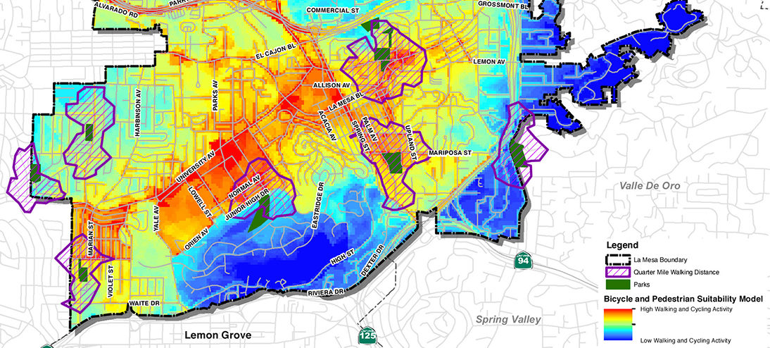
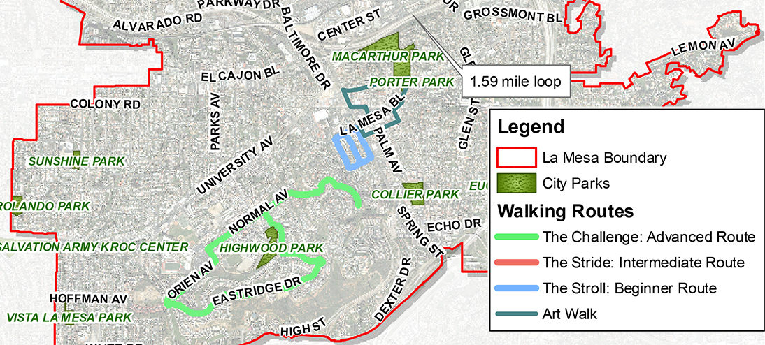
Through the SANDAG Healthy Community Planning grant program, KTUA was selected to produce a Parks Master Plan and Safe Routes to Parks analysis for the City of La Mesa. The goal of this study was to determine the best park distribution system for the current and future populations of La Mesa, with a goal of providing some form of recreational activity within walking distances of all residents. The project evaluated the amenities (picnic areas, playgrounds, sports courts and fields, parking) located within each of the City’s 14 public parks. A GIS model was developed to identify constraints and walking conditions within a 10-15 minute walk zone of existing parks and recommended improvements to these walking routes. The project park and recreation master plan is incorporated into the Recreation Element under the General Plan Update the City of La Mesa.
In addition to the Parks Master Plan, KTUA also updated the bike and pedestrian components of the City of La Mesa’s circulation element. The scope of work also incorporated a Safe Routes to Transit Plan under the same Healthy Community Planning grant. This study looked specifically at the typical walking distances, conditions and barriers for accessing transit facilities in La Mesa. A network analysis determined specific walk zones and cycling zones around the LRT and bus stops. Detailed site inventory work was conducted in these 10-15 minute walk zones and recommendations made to improve access, safety and the walking environment.
Back to topClient
City of La Mesa
Completed
2012


 Mike Singleton (Retired)
 Cheri Blatner-Pifer (Retired)
 Brooke Whalen